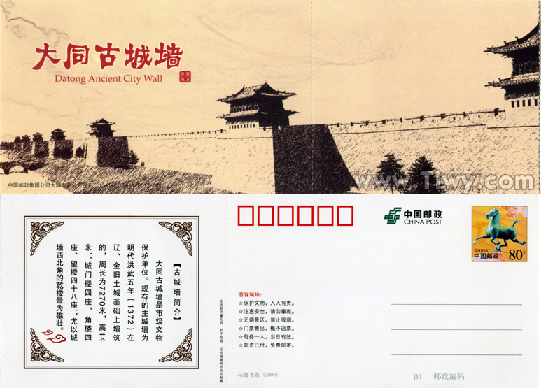
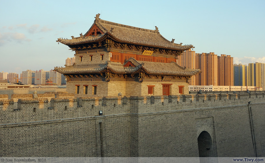
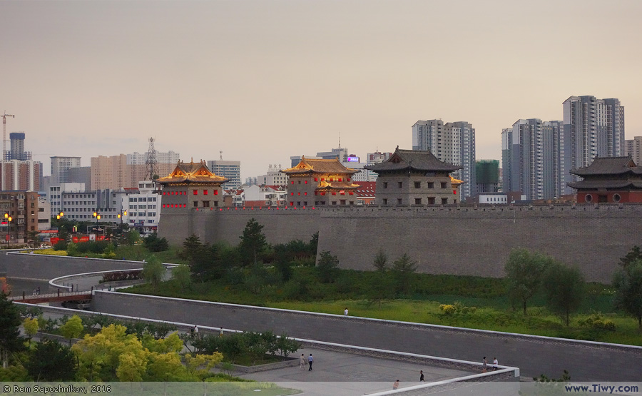
City Wall of Datong
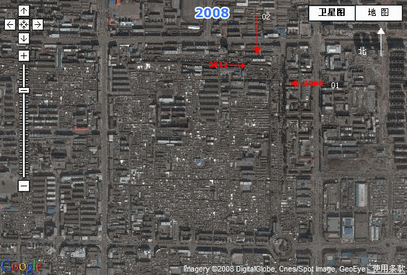
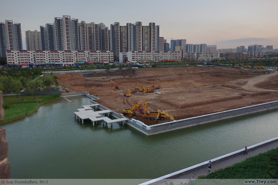
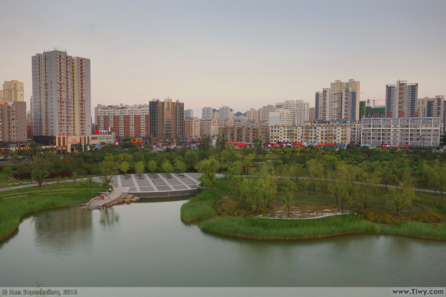
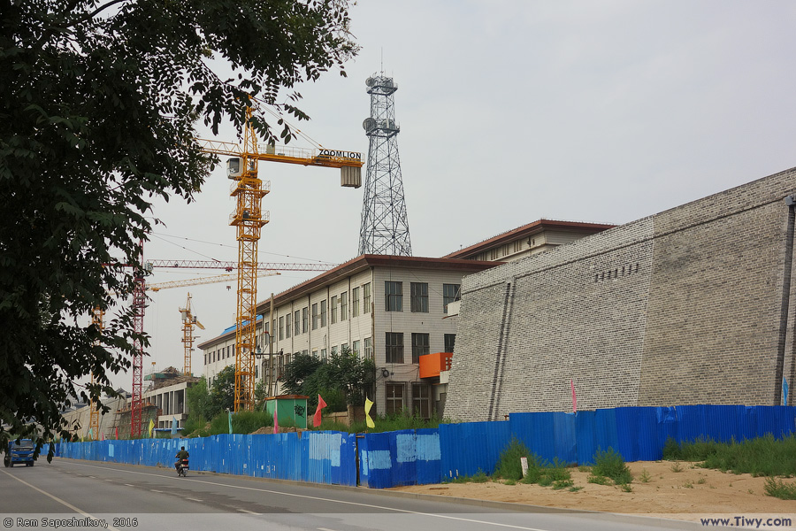
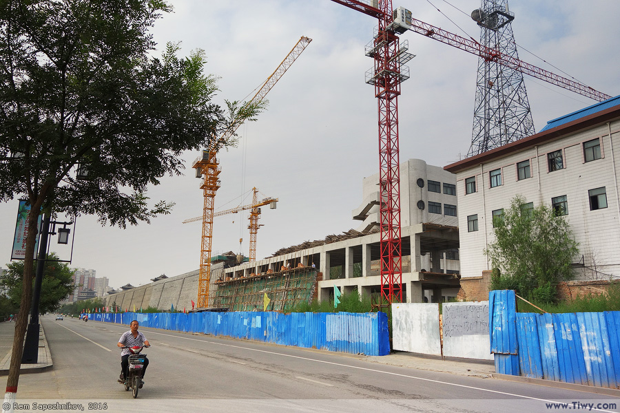
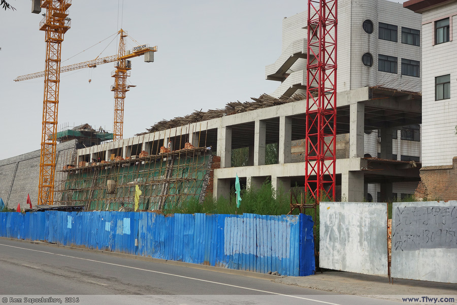
The first dirt wall was built here during the state of the Northern Wei (386-534), where Datong was the capital, and was called Pingcheng (平城 - Píng chéng). A thousand years later, in 1372, the construction of the wall which image and outline have survived until nowadays was started by the General Xu Da (徐达 - Xú Dá), a friend of Zhu Yuanzhang, the founder and the first emperor of the Ming Dynasty (1368-1644). Since the mid-19th century, the wall began to decline and collapse. By 2005, the wall came tumbling down; its total length was halved.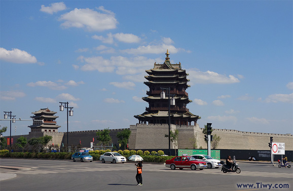
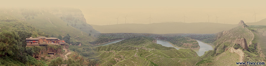
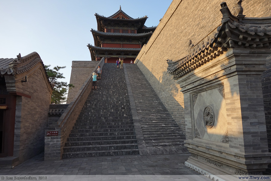
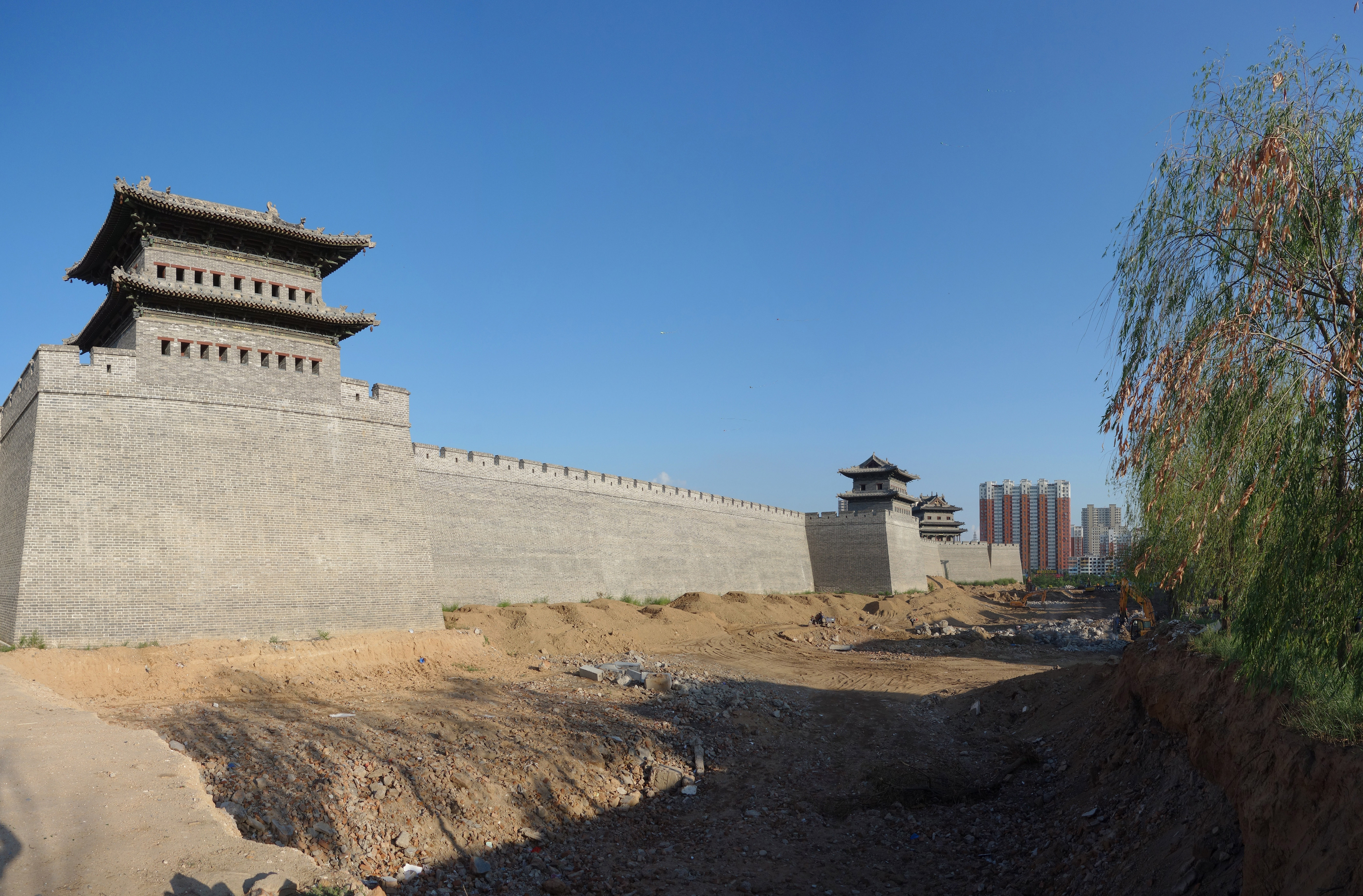
↑ Click for detailed view ↑
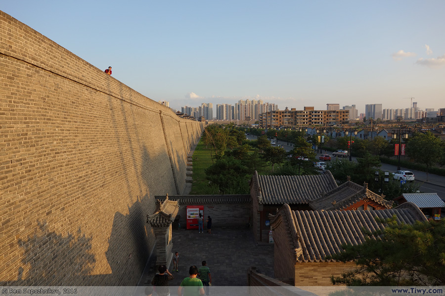
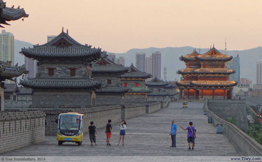
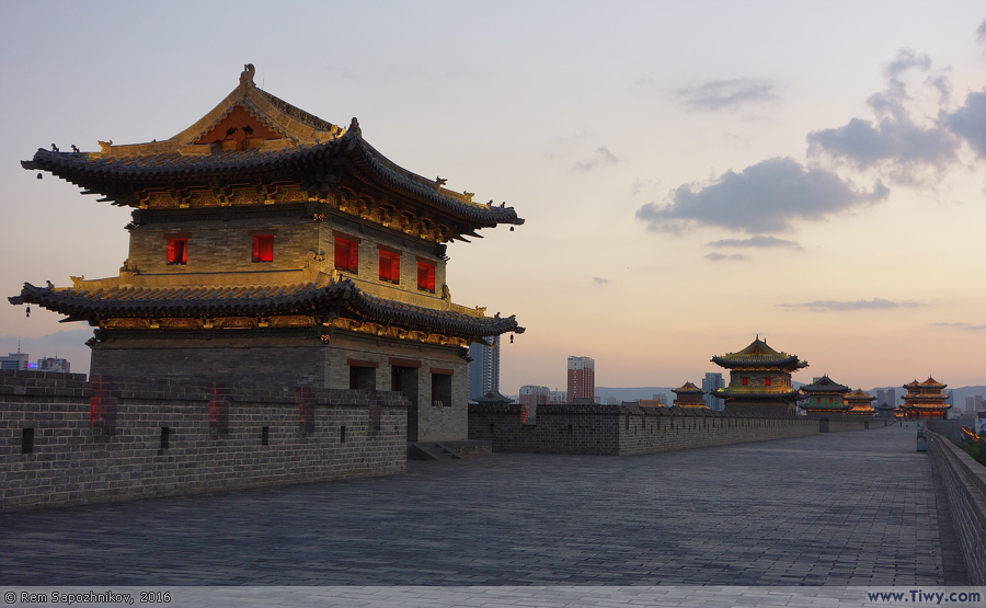
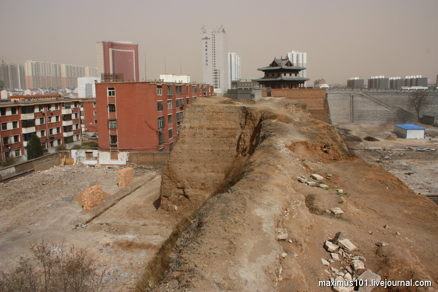
↑ Click for detailed view ↑
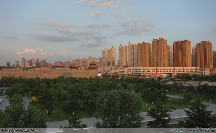
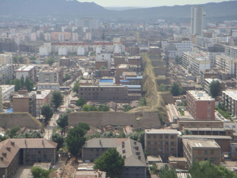
Excellent photo-report by the author of this photo Maxim Pakharenko, about what was the City Wall only 5 years ago and how the construction of the new wall began. See the link: http://maximus101.livejournal.com/42772.html
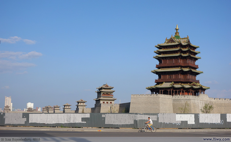
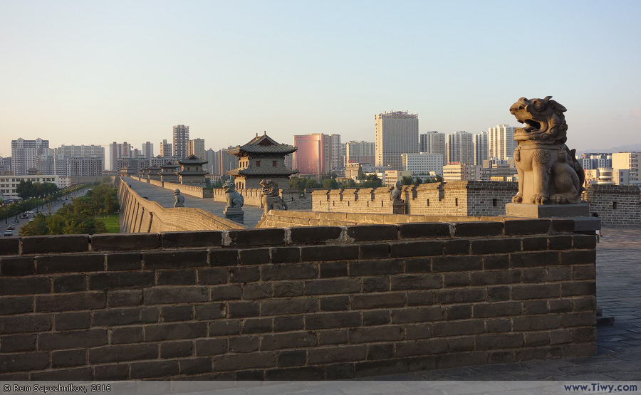
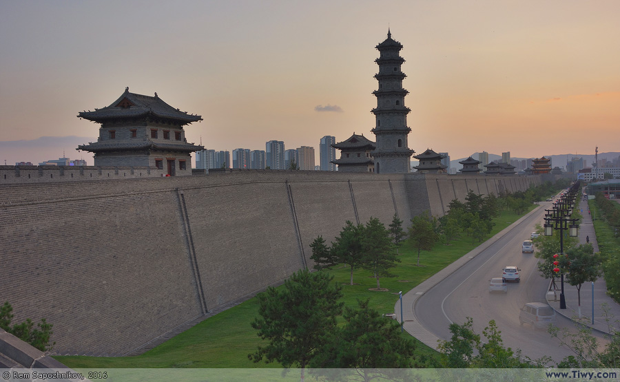
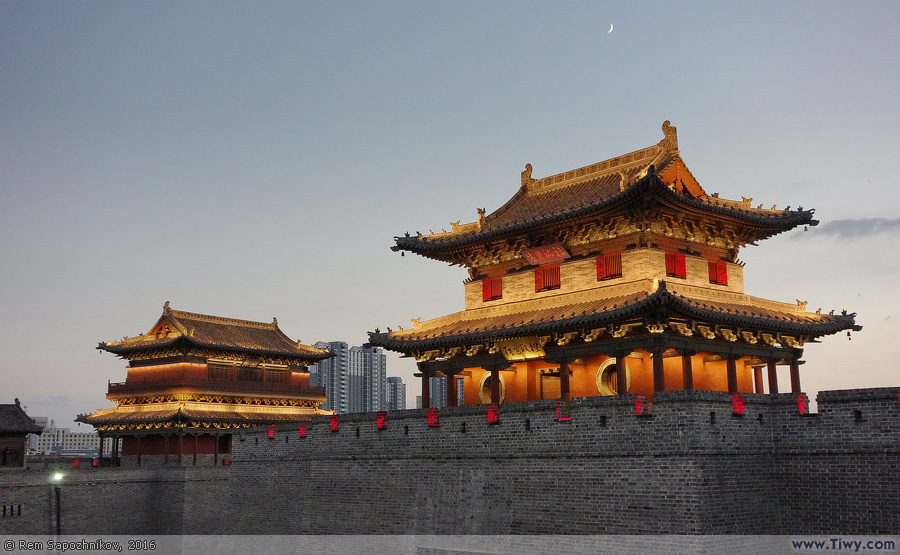
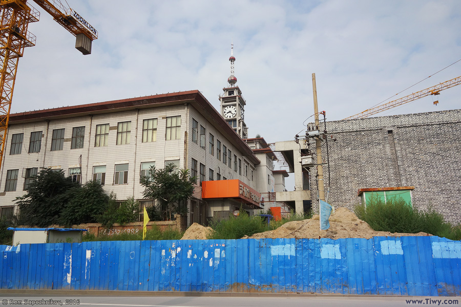
It's the same section of the wall, as in the photo above, but taken from the opposite side.